ALSO READ: My breasts have fallen
This CO2 acts like a heat-trapping blanket around the earth, resulting in what is referred to as the greenhouse effect. The immediate impact is the unbearable heat and the steady increase in global temperatures popularly referred to as global warming. This has led to the change in the average weather conditions commonly referred to as climate change.
According to reports, Africa will not only be hit hardest, but it will be hit first. Africa is expected to and is already feeling the impact of climate change with an increase in severe droughts, floods and storms that are already threatening the health of populations and economies alike. Unfortunately, as we use more air conditioners to cool our homes and offices we are invariably contributing to the warming of the planet, and creating more air and noise pollution as well as further exposing ourselves to hazardous radiations from the sun. What an irony, the effort to solve one problem leads to another! There is the urgent need for Africa to arise, to better understand its environment, to leverage on and promote the use of technologies that are robust and that can be used to model and solve complex problems of the earth. It also behooves all Governments to promote a Public Private Partnership synergy to educate, innovate and collaboratively tackle environmental problems. Prominent among such technologies is the GIS.
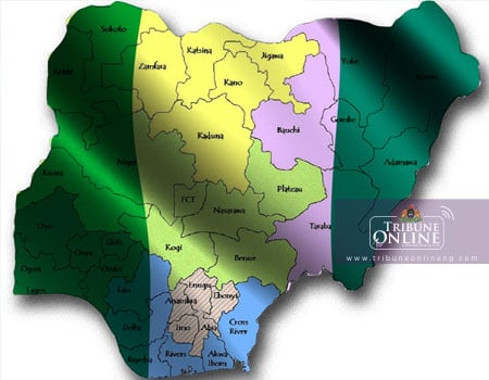
GIS is the acronym for the Geographic Information Systems. The Geographic Information System (GIS) is a framework for gathering, managing, and analyzing complex data. Rooted in the science of geography, GIS integrates many types of data. It analyzes spatial location and organises layers of information into visualizations using maps and 3D scenes. With this unique capability, GIS reveals deeper insights into data, such as patterns, relationships, and situations—helping users make smarter decisions. GIS makes databases to come alive. It enables the intelligent analysis of location based information and the efficient exploration and presentation of new discoveries. It is a technology that will stimulate innovation that is particularly needed for the sustainable development of Africa and specifically Nigeria.
GIS Konsult Ltd is a company with interests in various sectors of the economy. Its main and immediate focus relates the application of Geographic Information Systems (GIS) and Information Technology as a tool for the development of Africa in general, and in particular, Nigeria. With the vision of being the leading company in the delivery of spatial solutions and educational services in Africa, it sets out to develop and deploy solutions on the strength of accurate spatial (location) database, creative ingenuity and the immense capability of the GIS. Of immense and current relevance is the fact that the company has identified a gap in the teaching and application of spatial technology in both secondary and tertiary institutions. Consequently, it introduced an innovative technology road map for sustainable development through a competitive event named GEO-HACKATHON. Also, it has motivated and is championing the use of GIS technology as a tool to achieving the United Nations Sustainable Development Goals for Nigeria by equipping students at the tertiary and secondary school levels with the critical skills of Geography, Science and Technology for sustainable development.
Successive governments and even curriculum developers have ignored the role of geography in furthering sustainable development among the newer generations and have relegated its relevance. The situation was and is now so bad that some schools opt to teach other subjects that are thought to be “in demand for successful careers” in place of Geography. Students are also disenfranchised because teachers seem to merely copy out to them basic facts that students can memorize and regurgitate so as to pass school examinations, rather than to help them understand and acquire real education. However, Geography education presents a unique entry point in secondary schools to fortify youths with information and technology that they need to survive the present day challenges of climate change as well as to fortify and prepare students for sustainable development. Geography as a subject provides the ideal content for students to better understand the man-environment inter-reactions at the local, regional, and global levels.
GIS is proving to be a veritable education tool for sustainable development. Its utilisation and further development anchor on the readiness and aptitude of the learning populace, the students, researchers and industrial-business developers. The projects in the schools across the country have been a success story, even though much is still desired. Many of the students are no longer folding their arms to complain of some environmental challenges, for examples, flooding that is associated with climatic change, but are exploring how to develop indigenous solutions for the overwhelming problems of the earth. Participating students are now being trained and mentored touse GIS tools to collect information and solve environmental problems. Indeed,one of those student participants has expressed his desire to develop software applications that will power ‘autonomously driven vehicles’. Another student spoke excitedly about how he wants to map out species of earthworms and how he intends to relate this with soil fertility. These and many others will fuel and sustain the quest for,and utilisation of,knowledge on the versatility of GIS technology as a tool for sustainable development.
- Afolayan is the CEO, GIS KONSULT Ltd, Ibadan.