Geology is a vast and complex scientific endeavour, requiring not only multidisciplinary expertise but also sophisticated tools for its study or practice. In Nigeria, despite substantial exploration and study, the full extent of the country’s geological richness remains unknown in the way it ought to be. While regional geology provides a broader overview, it often lacks the resolution needed to capture critical local variations. In this context, detailed, small-scale geological studies can play a vital role in illuminating the complex and dynamic nature of Nigeria’s broader geologic framework.
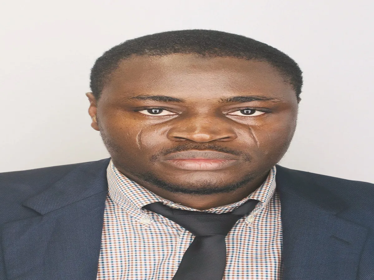
To this end, Luqman Olawale, a Nigeria-born geoscientist and a doctoral researcher at the University of Georgia, United States, was sought to offer his expert perspective. Before his expert opinion, he noted that his work centres on hydrogeology, with a particular focus on subsurface fluid flow and geochemical interactions. His interdisciplinary research spans the fields of groundwater exploration, hydrocarbon recovery, flood mitigation, carbon storage, and critical minerals extraction. Olawale explained that he was drawn to these fields because they operate at the critical intersection of water security and geo-energy security.
“This area of research directly supports efforts in environmental sustainability, helping to manage vital resources while advancing clean energy and safe water solutions for people and society,” he added.
Olawale’s study and research in local communities across north-central and southwestern Nigeria, and his expert opinions on exploration and environmental geology on the internet, necessitated his consultation on this matter.
The University of Georgia scholar explained that though Nigeria’s geology is vast and complex, the best way to approach and appreciate it is through the scientific observation and study of the natural features in a local environment or setting. He agreed that rocks, minerals, and other features studied and explored by geologists differ from one region to another, and a good understanding of local geology is key to understanding a regional one.
He opined that the regional geologic map of Nigeria, and its many varieties ─ scale, type, surface and subsurface ─ significantly omits some vital local geology of interest, probably owing to its large coverage, adding, “Therefore, innovative local geologic mapping must be encouraged and sustained to bridge this gap for economic and intellectual benefits.”
To bridge this insufficiency and gap in the features of the country’s geological map, he explained that all important aspects of geology are needed. These aspects include, but are not limited to, petrology, structural geology, petroleum geology, sedimentology and stratigraphy, geophysics and petrophysics, as well as remote sensing and geographic information systems (GIS) tools.
To further buttress his point, Olawale used some of his research works in hydrogeology and geophysical studies, published in scholarly journals, to explain the relevance local geology of an area and its contribution to the richness and completeness of regional geology of Nigeria and the potential it offers to the discovery of groundwater, minerals, and other natural resources.
Luqman Olawale’s early research focused on understanding groundwater systems in Nigeria’s northcentral regions. One of the studies he co-authored with his colleagues was published in 2019 in the Saudi Journal of Engineering and Technology (SJEAT) and titled ‘2-D electrical resistivity tomography for groundwater potential in basement terrain of a part of Ilorin sheet 223 NW Nigeria’.
The study employed geophysical imaging tools to identify groundwater-bearing formations beneath the University of Ilorin and its surrounding communities. It demonstrated that low-cost, accessible technologies can play a pivotal role in local water resource development, particularly in regions where traditional hydrological surveys are sparse or outdated.
“This project wasn’t just about finding water,” Olawale notes. “It was about showing that scientific tools, when applied at the right scale, can improve community well-being and inform better resource planning.”
Furthermore, in 2022, Olawale and colleagues published a study in the Egyptian Journal of Remote Sensing and Space Science titled ‘Flood vulnerable zones mapping using geospatial techniques: Case study of Osogbo metropolis, Nigeria’. The research aimed to map out flood-vulnerable areas within Osogbo to facilitate effective planning and proffer lasting solutions to the frequent damage that humans and their properties suffer from flooding within the city.
Analysing satellite and GIS data, eight flood causative factors were combined in the study, and results revealed that remote sensing techniques are practical tools for mapping flood-vulnerable areas and that an urgent need for proper land-use mapping and planning is needed to provide a lasting solution to flood disasters.
In a similar 2023 scholarly study in Ilorin, published in the Journal Remote Sensing in Earth Systems Sciences and titled ‘GIS-assisted flood-risk potential mapping of Ilorin and its environs, Kwara State, Nigeria’, Olawale and his colleagues investigated flood risk within Ilorin and its environs and proffered flood mitigation strategies that governments and policymakers can adopt to placate future flooding events within the state.
Satellite and imagery data were acquired and analysed for flood-risk assessment of the area, and one of the recommendations stressed the importance of a flood-risk map geared towards ameliorating flooding incidents. An understanding of the local geology and geomorphological features was also emphasised as a controlling factor in flood-prone areas.
“Remote sensing, when coupled with geologic insight, becomes a powerful planning tool,” Olawale explained. “We can help communities avoid disaster, not just respond to it.”
From the three Luqman Olawale’s scholarly work cited above, it could be deduced that the study of groundwater, though difficult to comprehend in its entirety due to its subterranean nature and difficulty of access, offers a good clue to the different rock types, sedimentary deposits, and surface topography of the local areas studied. It could also be deduced that the hydrogeological map of a local area shows the basic composition of rocks, their stratigraphy, and their lithological properties, which, when incorporated into a regional map, tell a better story.
However, for a detailed geologic study of a local area, Olawale admitted that hydrogeology alone is not sufficient, emphasising that the incorporation of detailed field mapping, especially utilising geophysical, engineering, petrological, remote sensing, and even biological tools, would suffice in this regard.
“This basic intervention aims at developing a simple picture or framework of how we can understand the regional geology of Nigeria by exploring and appreciating the local geology around us using simple tools,” he said.
In recent times, since the inception of his PhD programme at the University of Georgia, where he is a teaching and research assistant, Olawale said that his scholarly works are now focused on improving our understanding of multiphase fluid flow and geochemical reaction in the subsurface which will better inform our decision and design for subsurface application like groundwater recharge and contamination, carbon storage, enhance hydrocarbon recovery, critical mineral extraction and geothermal energy systems.
Aside from the above research, Olawale revealed that he has an interest in carbon capture and storage (CCS) innovations. As an environmental geology expert, he stated that carbon storage technology is an economic and environmental strategy that can unlock more oil and critical minerals while ultimately sequestrating this greenhouse gas. He explained that opportunities exist that can align carbon storage with enhanced oil recovery and mineral extraction and he urged the Nigerian government to explore CCS as an avenue to advance climate goals while strengthening its role in oil and mineral exploration.
Throughout his academic journey from Osun State in Nigeria to Kansas State in the US and now Georgia in the US too, Luqman Olawale has remained committed to strengthening geoscience capacity in Nigeria. He envisions a future where Nigerian researchers lead advancements in hydrogeology, remote sensing, critical mineral exploration, and low-carbon energy systems. To achieve this, he emphasises the urgent need to invest in modern research infrastructure, foster strong academic-industry linkages, and support early-career scientists through grants, mentorship, and international collaborations.
He said he is optimistic that with the right innovations, technology, and support, Nigeria can groom the next generation of geoscientists who can improve the geology of Nigeria as we know it today.
Today, Olawale’s published work spans respected journals and interdisciplinary domains, including Remote Sensing in Earth Systems Sciences, The Egyptian Journal of Remote Sensing and Space Sciences, Saudi Journal of Engineering and Technology, as well as conference presentations at the American Geophysical Union (AGU). He collaborates across continents and continues to serve as a mentor in professional societies.
But beyond his citations and conferences, what makes his work stand out is its societal relevance. From advising rural water development to advancing low-carbon solutions, Olawale’s science is grounded in service to communities, national development, and the next generation of researchers.
“I am committed to the development of Nigeria’s geology,” he concludes. “We need more experts to help us understand our subsurface, not just to extract resources, but to protect our environment and secure our future.”
ALSO READ TOP STORIES FROM NIGERIAN TRIBUNE
WATCH TOP VIDEOS FROM NIGERIAN TRIBUNE TV
- Let’s Talk About SELF-AWARENESS
- Is Your Confidence Mistaken for Pride? Let’s talk about it
- Is Etiquette About Perfection…Or Just Not Being Rude?
- Top Psychologist Reveal 3 Signs You’re Struggling With Imposter Syndrome
- Do You Pick Up Work-Related Calls at Midnight or Never? Let’s Talk About Boundaries