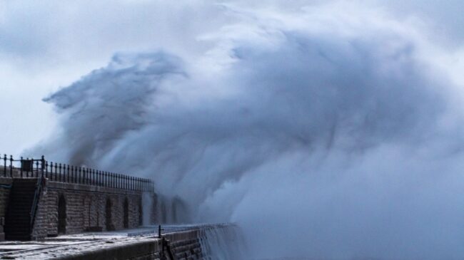
A complex, slow-moving storm system in the United States will bring wet and icy conditions, making travel dangerous tomorrow.
According to TV6, the development is due to “a complex, slow-moving system, the first part of which will cause rainfall in the morning, combined with near-freezing temperatures that can lead to icy surfaces.”
As a result, First Alert Weather Day remains in effect until 10 a.m. However, forecasters predict that temperatures will rise later today, eventually exceeding the freezing point. As a result, surfaces will not be as icy as initially anticipated.
According to the reports, a big winter storm accompanied by heavy, wet snow, making roads slippery and messy, is said to be coming tonight and will last until the early hours of Thursday, March 6, 2025. Alongside this occurrence, there will be colder temperatures and lighter snow.
Even drivers will be affected by strong winds, which will blow the snow around and make it hard to see the road while driving.
TV6 mentioned, “Snowfall will be heavy with high accumulations. To begin, the lowest snowfall amounts will occur in the Southern Eastern U.P. and along Lake Michigan with a range of 1-3″. A range of 8-12″ of snow will occur for the rest of the U.P.
“However, the Western and North-Central U.P. will have higher amounts. The Western U.P. will range from 12-15″ with 15-18″ in portions of Gogebic, Ontonagon, Houghton, and Keweenaw counties.
“The highest snowfall amounts will range 20-24″ in the higher elevations of Baraga and Western Marquette counties. The city of Marquette will have a range of 12-15″ of snow. If the track of this system changes, we could end up with lower snowfall amounts.
How the coming days are expected to look over the days
Today, March 4, 2025: On-and-off rain and freezing rain in the morning, followed by snow and rain in the west, and only rain in the east.
“>Highs: Upper 30s west/central, mid to upper 30s east.”
Wednesday, March 5, 2025: “Widespread wet snow in the morning. Then, a transition to widespread powdery snow temperatures decreases. Plus, strong winds.”
“>Highs: Low 30s in the morning. Then, temperatures decreasing during the day to the mid to upper 20s.”
Thursday, March 6, 2025: “Light lake effect snow showers in the north during the morning.”
“>Highs: Upper 20s west, low 30s east.”
Friday, March 7, 2025: “Spotty snow showers in the east.”
“>Highs: Low to mid-20s.”
Saturday, March 8, 2025: “Partly cloudy and colder.”
“>Highs: Low to mid-20s.”
Sunday, March 9, 2025: “Scattered snow showers and near seasonal.”
“>Highs: Upper 20s to low 30s.”
Monday, March 9, 2025: “Morning scattered snow showers.”
“>Highs: Upper 20s to low 30s.”
ALSO READ TOP STORIES FROM NIGERIAN TRIBUNE
WATCH TOP VIDEOS FROM NIGERIAN TRIBUNE TV
- Let’s Talk About SELF-AWARENESS
- Is Your Confidence Mistaken for Pride? Let’s talk about it
- Is Etiquette About Perfection…Or Just Not Being Rude?
- Top Psychologist Reveal 3 Signs You’re Struggling With Imposter Syndrome
- Do You Pick Up Work-Related Calls at Midnight or Never? Let’s Talk About Boundaries


